Last checked
How do you get to Manang?
Walk the Annapurna Circuit from Besisahar, usually six to seven days, or take a jeep up the Marsyangdi valley road and start walking higher. The road now reaches Manang, but arriving by jeep skips the gradual climb that does your acclimatising for you.
The classic approach climbs through Chame and Pisang. From Upper Pisang there is a higher trail through Ghyaru and Ngawal that most people rate as the best walking on the whole circuit.
If you drive up, plan at least two extra nights at Chame or Pisang before Manang. Going from Besisahar at 760 m to 3,519 m in a day is a reliable way to feel terrible.
Manang's airstrip, 2.5 km east of the village, has had no commercial flights since 2012.
You need the Annapurna Conservation Area Permit, checked at posts along the valley.
What is Manang like?
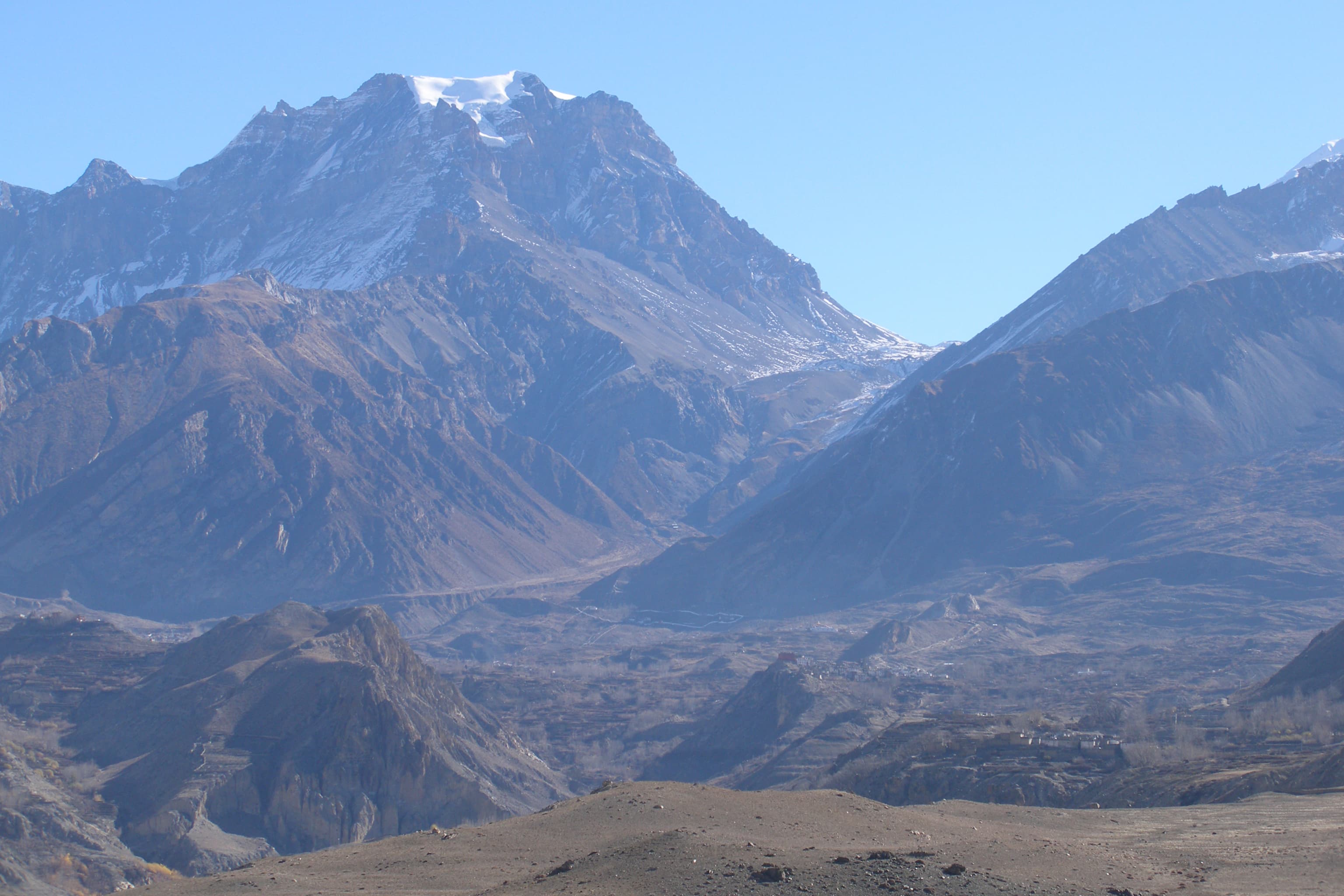
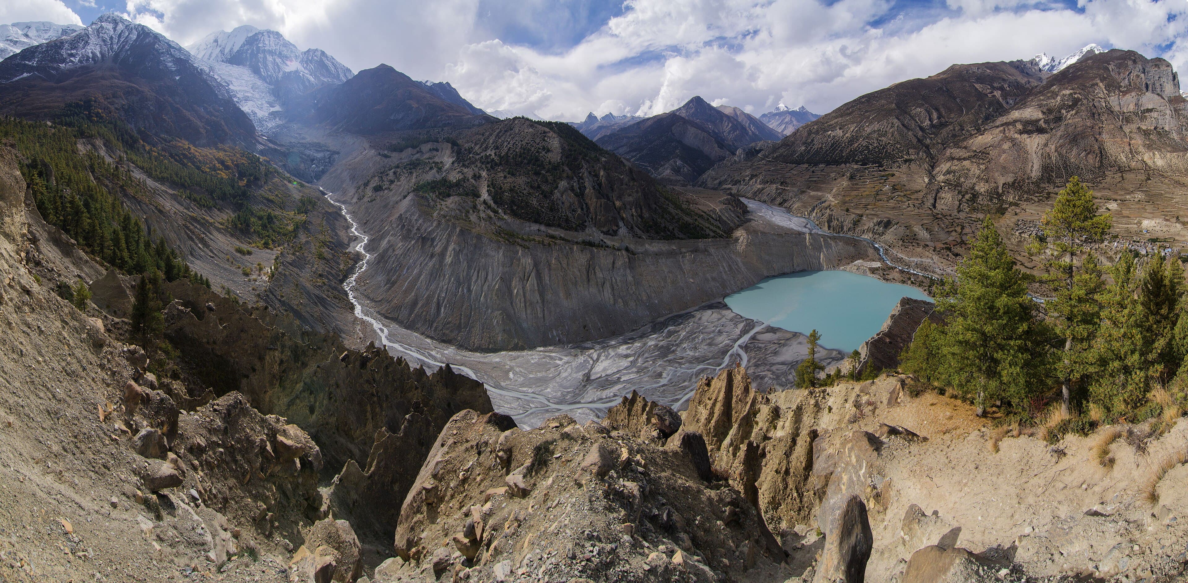
A stone village on the sunny north side of a wide, dry valley, facing the glaciers of Gangapurna and Annapurna III across the river. It is the most comfortable stop on the upper circuit, with bakeries, lodges of every standard and a medical post.
Manang sits in the rain shadow of the Annapurnas. Manang district gets the lowest rainfall of any district in Nepal, which is why the landscape looks closer to Tibet than to the green hills you walked through a few days earlier.
Flat roofs stacked with firewood, prayer wheels at the village gate and yak herds on the slopes above are part of daily life here.
Manangi traders have a long history of commerce across Asia, and many families now split their year between Manang and Kathmandu.
Why do trekkers spend two nights in Manang?
Because Thorong La is 1,900 m higher and only three walking days away. The rest day in Manang is where you climb high and sleep low, and it is the single thing most likely to get you over the pass.
The Himalayan Rescue Association runs an aid post in Manang during the trekking seasons, staffed by volunteer doctors, with a free altitude illness talk every afternoon at 3 pm. It is worth an hour of your rest day.
Good acclimatisation walks include Gangapurna Lake for an easy start, Praken Gompa above the village, or the long, steep climb to Ice Lake for a proper altitude gain.
If you are heading to Tilicho Lake, Manang is where the route leaves the main circuit, so plan your nights from here.
What services does Manang have?
Lodges with hot showers, WiFi and good bakeries, a medical post, shops selling and renting gear, and mobile coverage. Prices are higher than in the lower valley, and cash is safer than relying on any machine working.
Bring enough Nepali rupees from Pokhara or Kathmandu. Card payment and cash machines this high are unreliable.
Down jackets, gloves and spikes for the pass can be bought or rented in Manang if you arrive short of warm gear.
Things to do in Manang
- 01
Gangapurna Lake
A turquoise glacial lake fed by the Gangapurna and Annapurna III glaciers, about 30 minutes from the village. The easiest and most photographed walk from Manang, and the green water is why people call it the green lake.
- 02
Ice Lake (Kicho Tal)
A lake at about 4,620 m above the neighbouring village of Braga. The round trip takes six to eight hours with over 1,000 m of climbing, which makes it the best acclimatisation hike in the valley and a real test of whether you are ready for the pass.
- 03
Milarepa Cave
A cave at around 4,100 m associated with the 11th century Tibetan yogi Milarepa, with a small gompa and a holy spring below it. Local tradition places the story of Milarepa's Song to the Hunter here.
- 04
Braga Gompa
A monastery in Braga, 20 to 30 minutes' walk from Manang, one of the oldest and most important in the valley. Its setting against the cliffs is worth the short walk.
- 05
Tilicho Lake
The side trip to one of the highest lakes in the world at about 4,919 m. It takes two to three extra days from Manang via Khangsar and Shree Kharka.
- 06
HRA altitude talk
The free afternoon lecture at the Himalayan Rescue Association aid post, where volunteer doctors explain the symptoms of altitude illness and when to turn around.
Nearby
Frequently asked questions
Sources checked
- Manang, altitude and historyWikipedia, checked 30 September 2026
- Manang District rainfall and populationWikipedia, checked 30 September 2026
- Milarepa Cave, GandakiWikipedia, checked 30 September 2026
- Manang aid post and altitude lecturesHimalayan Rescue Association Nepal, checked 30 September 2026
- Coordinates and place namesOpenStreetMap contributors, checked 30 September 2026
Fees and regulations in Nepal change. This page was last verified on 30 September 2026.